
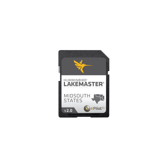
LakeMaster Chart Midsouth States (TX/OK/AR/LA/MS SD) f/Humminbird 600009-2
$124.95
Out of stock
SKU
JMS263557
LAKEMASTER CHART MIDSOUTH STATES SD TX/OK/AR/LA FOR
LakeMaster Chart Midsouth States (TX/OK/AR/LA/MS SD) f/Humminbird
Mid-South States Edition - Version 2 Product Highlights:- Contours for many FRESHWATER lakes in TX, OK, AR, LA, & MS
- Over 240 total lakes with contours, of which 161 are now high definition lakes
- -i-Pilot Link COMPATIBLE
- Arkabutla, MS
- Sardis, MS
- Sardis, OK
- Fort Gibson, OK
- McGee Creek, OK
- Carl Albert, OK
- Ponca, OK
- Travis, TX
- Lake Houston, TX
- PLUS many more!
Cartography - Misc. | Humminbird
| UPC Code | 082324044021 |
|---|---|
| Manufacturer Part Number | 600009-2 |
| Manufacturer | Lakemaster |
Write Your Own Review