
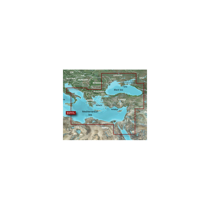
Garmin VEU717L East Mediterranean & Black Sea 010C108500
$481.70
Out of stock
SKU
JMS202547
Garmin VEU717L East Mediterranean & Black Sea
VEU717L - East Mediterranean & Black Sea
Detailed coverage of the Eastern Mediterranean Sea and the Black Sea including the Straights of Messina, the Adriatic Sea up to Pescara, IT, the Aegean Sea, the Suez Canal and Upper Red Sea, the Bosphorus Straight, the Dardanelles and the Sea of Azov. Ports included are Syracuse and Taranto, IT; Split, HR; Athens, GR; Istanbul, Antayla and Trabzon, TR; Odessa, UA; Sevastopol and Yalta, RU; and Alexandria, EG.
3-D View = NONE | Aerial Photos = NONE | Card Format = NONE | Port Plans = NONE
Category: Cartography - Garmin | BlueChart g2 Vision Foreign - SD
| UPC Code | 753759985165 |
|---|---|
| Manufacturer Part Number | 010-C1085-00 |
| Manufacturer | Garmin |
Write Your Own Review