
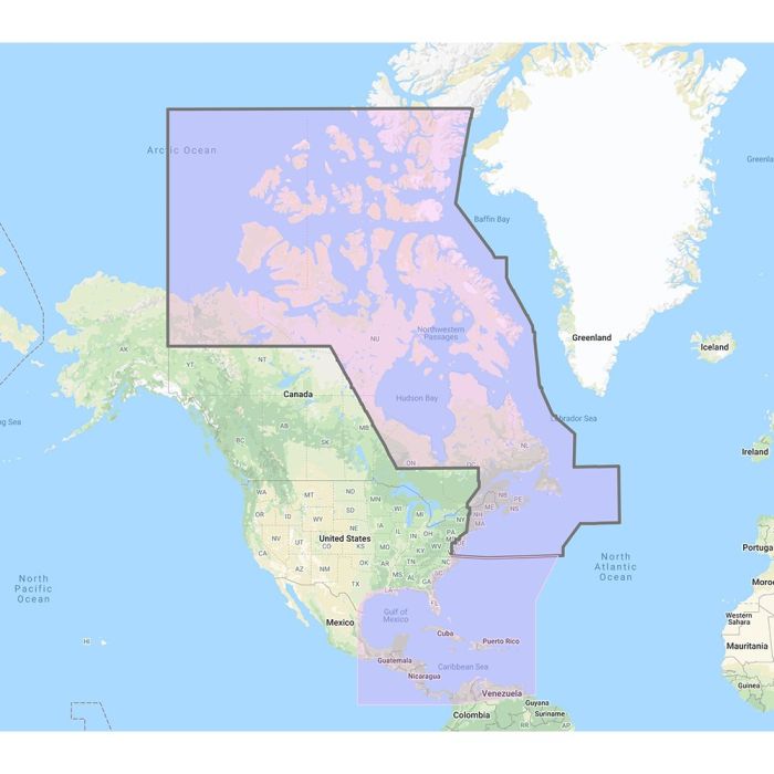
FURUNO US AND CANADA ATLANTIC COAST, GUL
$525.00
In stock
SKU
JMS417029
FURUNO US AND CANADA ATLANTIC COAST, GUL
FURUNO US AND CANADA ATLANTIC COAST, GUL U.S. & Canada Atlantic Coast, Gulf of Mexico, Caribbean, Bahams and Central America Vector charts, 3D data & standard resolution satellite photos - Unlock Code **SYSTEM ID REQUIRED TO RECEIVE UNLOCK CODE** C-Map Mega Wide Chart - U.S. and Canada Atlantic Coast, Gulf of Mexico, Caribbean, Bahams and Central America Vector charts, 3D data & standard resolution satellite photos This Chart Pack includes vector charts, 3D data and standard resolution satellite photography for the US and Canadian Atlantic Coast, Gulf of Mexico, Caribbean, Bahamas and Central America. C-Map chart data is used and converted to the TimeZero format. These C-MAP charts are comprised of the same cartographic chart information found in C-MAP MAX and C-MAP MAX PRO charts. To purchase this chart pack for NavNet 3D, TZT or TZT2, you will need to provide your NavNet system ID to your local authorized Furuno dealer. The system ID can be located under the My NavNet menu. WARNING:
| Manufacturer Part Number | MM3-VNA-033 |
|---|---|
| Manufacturer | Furuno |
Write Your Own Review