
C-MAP NA-M820 SD CARD FORMAT ALASKAN COASTS BATHY
$137.59
Out of stock
SKU
JMS170978
C-MAP NA-M820 SD CARD FORMAT ALASKAN COASTS BATHY
NA-M820 => Alaskan Coasts Bathymetric
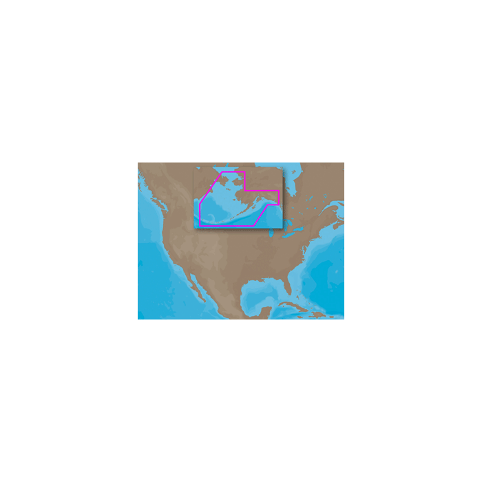
Coverage includes the offshore bathymetric details for the coast of Alaska from Dry Bay, just east of Yakutat Bay, to Attu Island at the end of the Aleutian Island chain, and then up to Cape Prince of Wales in the Bering Strait. Includes all of Bristol Bay, Cook Inlet and Prince William Sound. Fishing Contour Charts do not include coastal navigational features and are recommended for offshore fishing only.
Coverage includes the offshore bathymetric details for the coast of Alaska from Dry Bay, just east of Yakutat Bay, to Attu Island at the end of the Aleutian Island chain, and then up to Cape Prince of Wales in the Bering Strait. Includes all of Bristol Bay, Cook Inlet and Prince William Sound. Fishing Contour Charts do not include coastal navigational features and are recommended for offshore fishing only.
| Manufacturer Part Number | NA-M820SDCARD |
|---|---|
| Manufacturer | C-Map |
Write Your Own Review