
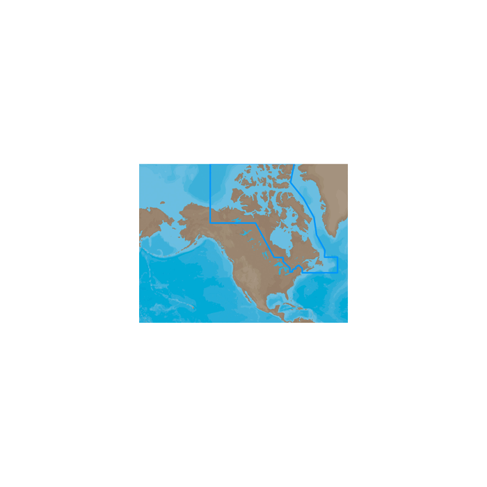
C-Map Na-N021 Max-N Canada North And East NA-N021
$199.00
Out of stock
SKU
JMS208391
C-MAP MAX-N NA-N021 - Canada North & East - Navico Only - HDS/Elite-7 HDI/NSS/Zeus Touch
Max-N Wide Cartography f/Lowrance, Simrad Yachting & B&G Chartplotters and Multifunction Displays
MAX-N Wide
Enhance your navigation experience!
MAX-N Wide provides additional C-MAP features such as harbor, detailed marina charts and coverage of inland rivers and lakes. When you choose C-MAP you get the best charts, using the most reliable sources around the globe, from a company committed to safe navigation.
Max-N WIDE Feature List
Product Compatibility
C-MAP Max-N Wide products are compatible with the following products:
Simrad NSE/NSO, B&G Zeus, Lowrance HDS Gen2/Gen2 Touch and Lowrance 4- and 5-inch Elite™ series products will become compatible with future software updates.
NA-N021 => Canada North and East
Coverage of the Arctic and Atlantic coasts of Canada including Hudson Bay, Newfoundland, the Gulf of St. Lawrence, Nova Scotia and the Bay of Fundy. Also includes coverage of the St. Lawrence River and eastern Lake Ontario, MacKenzie River, Great Bear Lake and all of Passamaquoddy Bay.
MAX-N Wide
Enhance your navigation experience!
MAX-N Wide provides additional C-MAP features such as harbor, detailed marina charts and coverage of inland rivers and lakes. When you choose C-MAP you get the best charts, using the most reliable sources around the globe, from a company committed to safe navigation.
Max-N WIDE Feature List
- Anchorage Areas
- International and National Boundaries
- Anchorage Prohibited
- Military Practice areas
- Bottom Type
- Official up-to-date Chart sources
- Boundaries (fairways, channels, dredged areas, swept areas)
- Restricted, Caution, Fishing and Prohibited areas including Marine Protected Areas
- Bridges, overhead pipelines and cables with horizontal and vertical clearances
- Rocks
- Caution Notes
- Spot Soundings
- Coast & Drying Line
- Submarine Cables and Pipelines
- Depth Areas
- Traffic routing systems and separation schemes
- Depth Contours
- Wrecks, obstructions, offshore platforms, breakwaters, etc.
- Indication and details of all aids to navigation
- Detailed Marina Charts
Product Compatibility
C-MAP Max-N Wide products are compatible with the following products:
| Compatible Products | Minimum Software Version |
|---|---|
| HDS Gen1 | 4.1.36.68 |
| Elite-7 HDI | 1.8.0.22784 |
| NSS | 2.5-42.116-22312 |
| Zeus Touch | 1.0-43.111 |
Simrad NSE/NSO, B&G Zeus, Lowrance HDS Gen2/Gen2 Touch and Lowrance 4- and 5-inch Elite™ series products will become compatible with future software updates.
NA-N021 => Canada North and East
Coverage of the Arctic and Atlantic coasts of Canada including Hudson Bay, Newfoundland, the Gulf of St. Lawrence, Nova Scotia and the Bay of Fundy. Also includes coverage of the St. Lawrence River and eastern Lake Ontario, MacKenzie River, Great Bear Lake and all of Passamaquoddy Bay.
| Manufacturer Part Number | NA-N021 |
|---|---|
| Manufacturer | C-Map |
Write Your Own Review