
C-Map 4D Na-D024 Max Usa West Coast And Hawaii NA-D024-MX
$199.00
Out of stock
SKU
JMS208386
C-MAP 4D NA-D024 USA West Coast & Hawaii - MAX Content
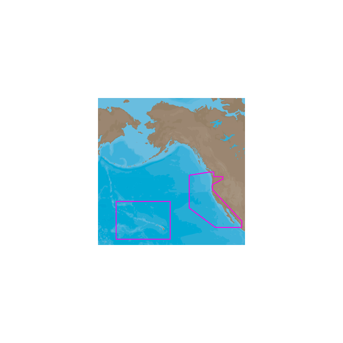
NA-D024 U.S. West Coast and Hawaii
Coverage of the Pacific Coast of the United States, including all of the coasts of California, Oregon and Washington. Coverage of Baja California and Mexico down to Puerto Vallarta. Detail of the Columbia River, Sacramento River, Willamette River. Snake River and San Joaquin Rivers are also included. Full coverage of Puget Sound and the San Juan Islands up to Point Roberts is also included. Additional coverage of the Hawaiian Islands out to Midway and Johnston Atoll is also included.
4D MAX Content
When you choose 4D MAX content you will benefit from the most accurate chart details and all the features of C-Map MAX cartography, such as:
- Guardian Alarm - An extra layer of safety.
When activated, Guardian Alarm performs an automatic forward-scanning check for obstacles. Use the feature as an added backup to alert you should you head toward a potentially harmful object. - Detailed NavAids
- Route Check
- Detailed Marina Charts
- C-Marina Ports Database
- Multi-Language Capability
- Dynamic Tides & Currents
- Photos & Diagrams
- Depths & Land Elevations
- Perspective View
| UPC Code | 686074003606 |
|---|---|
| Manufacturer Part Number | NA-D024-MX |
| Manufacturer | C-Map |
Write Your Own Review