
C-MAP 4D LAKES NA-D075 SOUTH CENTRAL
$189.70
In stock
SKU
JMS523521
C-MAP 4D LAKES NA-D075 SOUTH CENTRAL
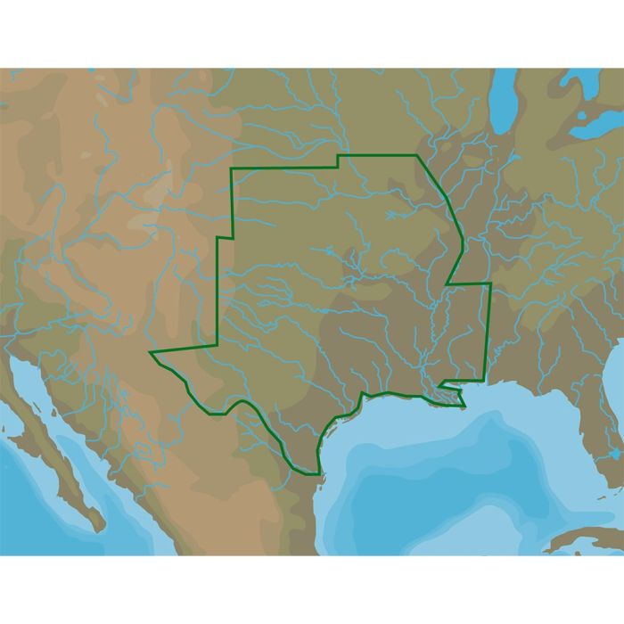
C-MAP 4D LAKES NA-D075 SOUTH CENTRAL 4D Lakes NA-D075 South Central C-MAP light marine charts have long been held in high regard by boaters for their combination of aesthetically pleasing vector electronic charts based on reliable sources. When buying C-MAP, boaters can be assured that the charts they are getting are of the highest standard. C-Map 4D will provide boaters with charts packed additional features such as raster chart views or Satellite images* to maximize situational awareness. Coverage Area: USA lakes and rivers of the south-central US region, including but not limited to: Gulf coast Key West to approaches of Mississippi River; Galveston Bay; Matagorda Bay; Mobile Bay, Ponce Del Leon Inlet and Cape Canaveral Mississippi River adn Lower Miss. mile markers 236 to 951 and Upper Miss. mile markers 000 to 432; Arkansas River mile markers 1 through 444 to US Highway 66 Twin Bridge; Atchafalaya River, Missouri River mile markers 000 to 599; Ohio River mile marker 912 to 980; Oua
| Manufacturer Part Number | M-NA-D075-MS |
|---|---|
| Manufacturer | C-Map |
Write Your Own Review